
- Ascendance Team
- Deep Analysis
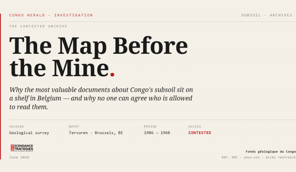
In a museum just outside Brussels, on five hundred meters of shelving, sit the most complete records of the Congolese subsoil that exist anywhere on earth. Maps, drill logs, aerial photographs, rock samples, millions of documents compiled across the colonial decades to record where Congo’s mineral wealth lay and how to take it out of the ground.
Last year, an American company offered to scan all of it, for free, and make it public. Belgium said no.
That refusal, and what sits beneath it, is the least understood front in the global contest for critical minerals.
The company is KoBold Metals, the artificial-intelligence exploration firm backed by Bill Gates and Jeff Bezos. It signed an agreement with Kinshasa in July 2025 to digitize the archive and publish it through Congo’s National Geological Service. Seven months later, not a document had been scanned. The Royal Museum for Central Africa, backed by the Belgian state, blocked the company’s team, on the grounds that public federal archives cannot be handed to a private foreign firm with no contractual relationship to Belgium. The museum has its own program, funded by the European Union, that runs to roughly 2031, with data transferred to Kinshasa in stages.
But the archive is only one front, and KoBold is only one player. The map of Congo’s subsoil is being redrawn by several hands at once. A global airborne-geophysics contractor, Xcalibur, is flying a multi-year program under a contract worth nearly three hundred million dollars, covering more than seven hundred thousand square kilometers across Kasai, Kwango, Kongo Central and Katanga, feeding the results into a proprietary artificial-intelligence platform. A US company with surveillance and reconnaissance capabilities has proposed a national mineral-data program of its own, its leadership received at the highest level of the Congolese state in June. The Belgian museum runs its digitization on its own timeline, under its own control. Four hands, four methods, one question underneath all of them: when the mapping is done, who owns the result.
Strip away the diplomacy and that is the only question that matters. The critical minerals debate fixates on the processing node, on who refines the metal and controls the midstream where the West has lost ground to China. But there is a position further upstream than the mine, further upstream even than the deposit. It is the map. Knowledge of what the ground contains is the first negotiating position in any mineral bargain, because it sets the floor for every conversation that follows. Whoever holds the map negotiates first.
And here is the Congolese predicament in a single line. The country that owns the wealth does not own the knowledge of the wealth.
Only about a fifth of the DRC has been mapped with modern methods, and much of the existing record is more than seventy years old. The country’s own mines ministry estimates that ninety percent of its mineral potential remains unexplored. For the world’s leading cobalt producer, the state grants rights over deposits, and negotiates their value, on the basis of data it does not independently hold, while the most authoritative records of its own ground sit in a former colonial capital.
This is not an accident of the present. It is a pattern a hundred and forty years deep. Under Leopold, the territory was mapped as private property. Under the Belgian Congo, the Union Minière surveyed the Copperbelt and carried the data home. After independence the state nationalized the mines and locked the knowledge inside a state company and a circle of insiders. Under Mobutu, geological information became an instrument of patronage, held close and rarely shared. During the wars, the knowledge of where deposits lay became a reason to fight over them and a way to finance the fighting. Each era controlled the map differently. None of them made it public.
This is why mapping the subsoil is treated in Congo less as a technical task than as a sovereign question, in a way it is not in Australia or Canada. Comprehensive transparency unsettles three groups at once. It touches the former colonial power whose institutions still hold the record. It hands precision to foreign explorers better capitalized to act on it than the state that owns the ground. And it exposes the domestic actors who profit from the gap between what a deposit is worth and the terms on which it is quietly allocated. A map anyone can read makes a discreet permit far harder to defend. Each group has a rational interest in the data staying partial. That is the real architecture of the taboo.
Which is why the variable that matters is not who flies the aircraft or scans the documents. It is who controls the data when the work is finished. On this the cases already diverge. The airborne-survey contract vests ownership of everything it generates in the Congolese state, which decides how it is used and shared. The archive project stalled precisely over the control question, over whether a private foreign firm should run the process at all, the museum warning against handing a public scientific collection to a single company, the company insisting the result would be made public. The dispute was never really about whether to digitize. It was about who holds the keys afterward. That, not the technology, is the whole game.
Nor is the foreign rush to help neutral. Offers to map, whether dressed as technical assistance or commercial partnership, are position-taking, not charity. Whoever produces the definitive map gains leverage over the state that commissioned it. When the firm doing the mapping also carries reconnaissance capabilities, or stands to profit from the deposits it reveals, the line between helping Congo see its own ground and seeing it first becomes thin.
For the US-DRC partnership signed in December 2025, this reframes what technical assistance actually means. Of all the instruments the agreement contemplates, support for geological data is the most strategically loaded, because it touches the first negotiating position rather than a downstream one. Assistance that produces a map the DRC does not control would deepen the asymmetry it claims to cure. Assistance that builds Congolese capacity to produce and hold its own data would close it. The instrument is identical. The control structure is everything.
Kinshasa has begun to grasp this. Its insistence that control of strategic data is non-negotiable, its drive to repatriate the archives, its wariness of handing the work to any single foreign hand, are not obstruction. They are the recognition that in the contest for Congo’s minerals, the first move is not made at the mine. It is made by whoever is allowed to know what lies beneath, and whoever holds the document when the knowing is done.
Washington. Paris. Kinshasa.